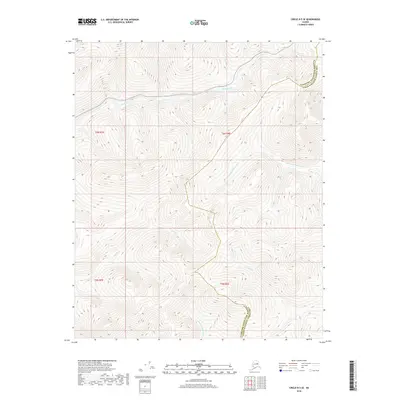
2018 Map of Circle B-5 SE
USGS Topo · Published 2018About this map
The W Fork Chena River and Harrington Fork Birch Cr drainage systems define the high-elevation terrain of this interior Alaska landscape. Situated along the boundary of the Fairbanks North Star Borough and Yukon-Koyukuk Census Area, the map captures a network of tributaries including McManus Cr, Pool Cr, and Crooked Cr. The placement of these watercourses reflects the dramatic topography of the region, where numerous creeks like Montana Cr and Idaho Cr descend from ridges into the larger river basins. This area is characterized by its hydrological significance and the intersection of municipal and census area boundaries in a region without permanent settlements, offering a detailed view of the natural water distribution in the subarctic wilderness.
Find a feature on this map
12 named features on this map. Tap any name to fly to it.
Don’t see what you’re looking for? This feature index may not catch every label — zoom into the map to look around manually.
Map Details
Editions of this 2018 Circle B-5 SE Map
This is the sole edition of this map. No revisions or reprints were ever made.
Other maps of this area

1951 · Circle
USGS Topo · 1:250,000

1951 · Circle A-5
USGS Topo · 1:63,360

1952 · Circle A-4
USGS Topo · 1:63,360

1952 · Circle B-4
USGS Topo · 1:63,360

1952 · Circle A-5
USGS Topo · 1:63,360

1954 · Circle A-5
USGS Topo · 1:63,360

1954 · Circle B-5
USGS Topo · 1:63,360

1955 · Circle
USGS Topo · 1:250,000

1964 · Circle
USGS Topo · 1:250,000
2018 · Circle B-5 SW
USGS Topo · 1:25,000