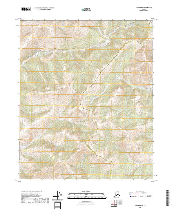
2024 Map of Circle B-5 SE
USGS Topo · Published 2024About this map
The high interior wilderness of Alaska is defined here by the headwaters of several significant drainages and the passage of the Steese Expressway/Highway across the northern reaches of the map. This modern survey illustrates the divide between the Fairbanks North Star Borough and the Yukon-Koyukuk Census Area, a boundary that cuts through a landscape of high ridges and narrow valleys. Flowing to the north and east, the McManus Creek, Harrington Fork Birch Creek, and Pool Creek drain toward the Yukon basin. In contrast, the southern portion of the sheet contains the beginnings of the West Fork Chena River, which carries water toward the Tanana and Yukon rivers via a different route. This intricate network of small streams like Crooked Creek and Idaho Creek shows the hydrological complexity of the subarctic uplands.
Find a feature on this map
13 named features on this map. Tap any name to fly to it.
Don’t see what you’re looking for? This feature index may not catch every label — zoom into the map to look around manually.
Map Details
Editions of this 2024 Circle B-5 SE Map
This is the sole edition of this map. No revisions or reprints were ever made.
Other maps of this area

1951 · Circle
USGS Topo · 1:250,000

1951 · Circle A-5
USGS Topo · 1:63,360

1952 · Circle A-4
USGS Topo · 1:63,360

1952 · Circle B-4
USGS Topo · 1:63,360

1952 · Circle A-5
USGS Topo · 1:63,360

1954 · Circle A-5
USGS Topo · 1:63,360

1954 · Circle B-5
USGS Topo · 1:63,360

1955 · Circle
USGS Topo · 1:250,000

1964 · Circle
USGS Topo · 1:250,000
2018 · Circle B-5 SW
USGS Topo · 1:25,000