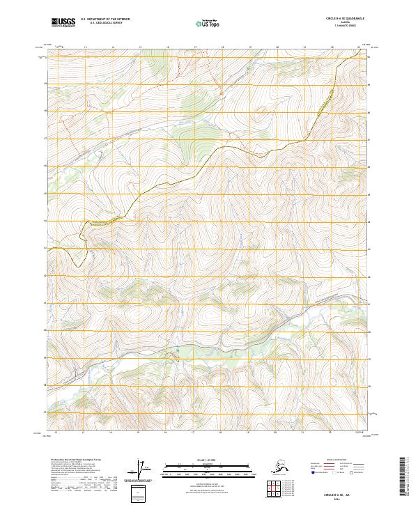
2024 Map of Circle B-6 SE
USGS Topo · Published 2024About this map
The White Mountains National Recreation Area dominates this northern landscape, where the high-altitude drainage systems of the Chatanika River and Birch Creek converge. This area represents a critical corridor for interior Alaska, marked by the presence of the Steese Expressway/Highway which provides the primary access route through these remote uplands. The terrain is defined by an intricate network of waterways, including Nome Creek, Sumner Creek, and Cripple Creek, which have historically drawn prospectors and recreationists alike.
Find a feature on this map
24 named features on this map. Tap any name to fly to it.
Don’t see what you’re looking for? This feature index may not catch every label — zoom into the map to look around manually.
Map Details
Editions of this 2024 Circle B-6 SE Map
This is the sole edition of this map. No revisions or reprints were ever made.
Other maps of this area

1951 · Circle
USGS Topo · 1:250,000

1951 · Circle A-5
USGS Topo · 1:63,360

1952 · Circle A-5
USGS Topo · 1:63,360

1954 · Circle A-6
USGS Topo · 1:63,360

1954 · Circle B-6
USGS Topo · 1:63,360

1954 · Circle A-5
USGS Topo · 1:63,360

1954 · Circle B-5
USGS Topo · 1:63,360

1955 · Circle
USGS Topo · 1:250,000

1964 · Circle
USGS Topo · 1:250,000
2018 · Circle B-5 SW
USGS Topo · 1:25,000