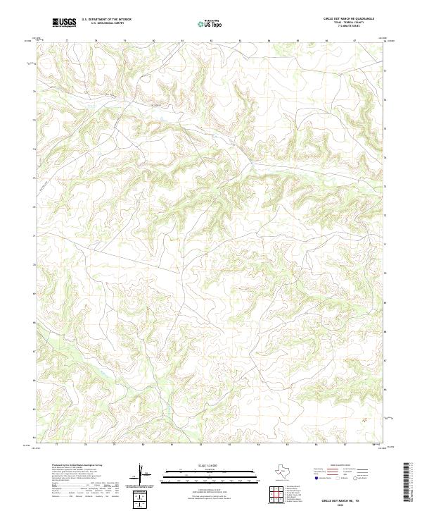
2022 Map of Circle Dot Ranch NE
USGS Topo · Published 2022About this map
Dry drainage networks and isolated ranching routes define this portion of Terrell County in the modern era. The landscape is carved by seasonal watercourses like Dry Cr and McKay Cr, which dictate the placement of the few access roads crossing this arid terrain. Access is limited to a handful of primary arteries such as Ranch Rd 2400, Dry Creek Rd, and Dad's Creek Rd. These roads often follow the natural contours of the canyons or provide vital connections between the region's dispersed ranching operations. The USGS documentation of these features underscores the persistence of traditional land use and the importance of remote infrastructure in West Texas.
Find a feature on this map
5 named features on this map. Tap any name to fly to it.
Don’t see what you’re looking for? This feature index may not catch every label — zoom into the map to look around manually.
Map Details
Editions of this 2022 Circle Dot Ranch NE Map
This is the sole edition of this map. No revisions or reprints were ever made.
Other maps of this area

1928 · Sanderson
USGS Topo · 1:125,000

1929 · Sheffield
USGS Topo · 1:125,000

1929 · Independence Draw Quadrangle
USGS Topo · 1:125,000

1954 · Fort Stockton
USGS Topo · 1:250,000

1954 · Sonora
USGS Topo · 1:250,000

1958 · Sonora
USGS Topo · 1:250,000

1958 · Fort Stockton
USGS Topo · 1:250,000

1967 · Horsehead Canyon
USGS Topo · 1:24,000

1969 · Circle Dot Ranch
USGS Topo · 1:24,000

1969 · Continental Ranch
USGS Topo · 1:24,000