
1951 Map of Circle Mesa
USGS Topo · Published 1951About this map
Allison Ranch and other isolated homesteads anchor this 1951 study of the high New Mexico terrain within the Gila National Forest. The landscape is defined by the broad Mangas Valley through which Mangas Creek flows, flanked by a network of steep drainages including Blacksmith Canyon and Cottonwood Canyon. These labels reveal a geography shaped by ranching and essential water sources, evidenced by names like Dud Tank, Cane Spring, and Ash Spring.
Find a feature on this map
29 named features on this map. Tap any name to fly to it.
Don’t see what you’re looking for? This feature index may not catch every label — zoom into the map to look around manually.
Map Details
Editions of this 1951 Circle Mesa Map
This is the sole edition of this map. No revisions or reprints were ever made.
Other maps of this area

1909 · Silver City
USGS Topo · 1:125,000

1949 · Circle Mesa
USGS Topo · 1:24,000

1950 · Tyrone
USGS Topo · 1:24,000

1950 · Dorsey Ranch
USGS Topo · 1:24,000

1950 · Wind Mountain
USGS Topo · 1:24,000

1950 · Silver City
USGS Topo · 1:24,000

1950 · Reading Mountain
USGS Topo · 1:24,000

1951 · Dorsey Ranch
USGS Topo · 1:24,000
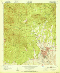
1951 · Silver City
USGS Topo · 1:24,000
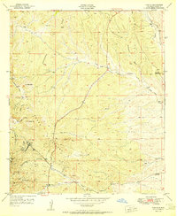
1951 · Tyrone
USGS Topo · 1:24,000