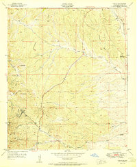
1951 Map of Tyrone
USGS Topo · Published 1951About this map
Mining operations dominate the landscape of the Little Burro Mtns in this 1951 study, centered on the historic town of Tyrone. The settlement is surrounded by a dense network of industrial sites, including the Niagara Tunnel, Rocket Shaft, and Gettysburg Shaft, reflecting the area's intensive copper and mineral extraction history. To the south, a small Cem and Brick Kiln Gulch offer genealogical and industrial clues, while the Oak Grove area marks a secondary point of activity near the Oak Creek drainage.
Find a feature on this map
35 named features on this map. Tap any name to fly to it.
Don’t see what you’re looking for? This feature index may not catch every label — zoom into the map to look around manually.
Map Details
Editions of this 1951 Tyrone Map
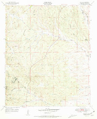
2 editions found
Other maps of this area

1909 · Silver City
USGS Topo · 1:125,000

1947 · Fort Bayard
USGS Topo · 1:24,000

1949 · Fort Bayard
USGS Topo · 1:24,000

1949 · Whitewater
USGS Topo · 1:24,000

1949 · Hurley West
USGS Topo · 1:24,000

1949 · Circle Mesa
USGS Topo · 1:24,000

1950 · Tyrone
USGS Topo · 1:24,000

1950 · White Signal
USGS Topo · 1:24,000

1950 · Wind Mountain
USGS Topo · 1:24,000

1950 · Burro Peak
USGS Topo · 1:24,000