
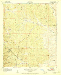
1950 Map of White Signal
USGS Topo · Published 1963About this map
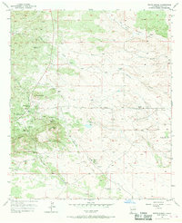
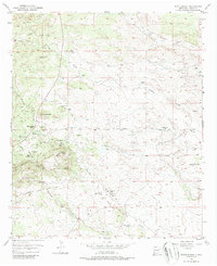
White Signal serves as the primary hub in this southwestern New Mexico landscape, which by the early 1950s was defined by a shift from active mining to ranching and local community life. The presence of the White Signal School and a Community House marks the center of social activity, while the surrounding hills are dotted with evidence of earlier mineral extraction. Numerous dormant sites, including the Apache Trail Mine, Gold Lake Mine, and Uncle Sam Mine, reflect the area's prospecting history.
Find a feature on this map
21 named features on this map. Tap any name to fly to it.
Don’t see what you’re looking for? This feature index may not catch every label — zoom into the map to look around manually.
Map Details
Editions of this 1950 White Signal Map
3 editions found
Other maps of this area

1909 · Silver City
USGS Topo · 1:125,000

1949 · Whitewater
USGS Topo · 1:24,000

1949 · Hurley West
USGS Topo · 1:24,000

1950 · Tyrone
USGS Topo · 1:24,000

1950 · Wind Mountain
USGS Topo · 1:24,000

1950 · Burro Peak
USGS Topo · 1:24,000

1951 · White Signal
USGS Topo · 1:24,000

1951 · Big Burro Mountains
USGS Topo · 1:24,000
1951 · Tyrone
USGS Topo · 1:24,000

1951 · Wind Mountain
USGS Topo · 1:24,000