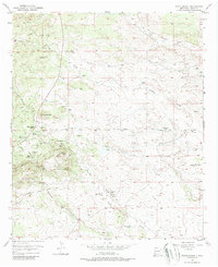
1950 Map of White Signal
USGS Topo · Published 1987About this map
White Signal serves as a central hub in this high-desert mining landscape of Grant County, where the infrastructure of the early 20th-century extraction economy is still clearly visible. The area is defined by a dense concentration of named workings, including the Apache Trail Mine to the north and the Gold Lake Mine and Timmer Mine further east. These sites, along with the Uncle Sam Mine and Blackman Mine, suggest a period of intense prospecting and geological interest in the hills surrounding the settlement.
Find a feature on this map
23 named features on this map. Tap any name to fly to it.
Don’t see what you’re looking for? This feature index may not catch every label — zoom into the map to look around manually.
Map Details
Editions of this 1950 White Signal Map
3 editions found
Other maps of this area

1909 · Silver City
USGS Topo · 1:125,000

1949 · Whitewater
USGS Topo · 1:24,000

1949 · Hurley West
USGS Topo · 1:24,000

1950 · Tyrone
USGS Topo · 1:24,000

1950 · White Signal
USGS Topo · 1:24,000

1950 · Wind Mountain
USGS Topo · 1:24,000

1950 · Burro Peak
USGS Topo · 1:24,000

1951 · White Signal
USGS Topo · 1:24,000

1951 · Big Burro Mountains
USGS Topo · 1:24,000
1951 · Tyrone
USGS Topo · 1:24,000