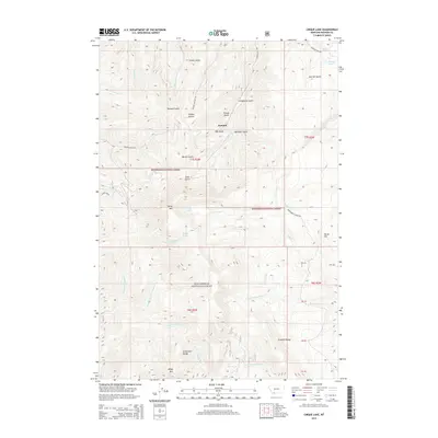
2014 Map of Cirque Lake
USGS Topo · Published 2014About this map
Summit stands at the center of this high-elevation terrain within the Beaverhead National Forest, where the landscape is defined by a dense network of gulches and mountain peaks. The map reveals a complex drainage system feeding into the Madison County backcountry, featuring the headwaters of Wigwam Cr, N Fork Greenhorn Cr, and Arasta Cr. The topographical detail highlights the prominence of the Greenhorn Range and the Gravelly Range, while local landmarks like Baldy Mtn and Sheep Mtn provide fixed points for navigating the wilderness.
Find a feature on this map
48 named features on this map. Tap any name to fly to it.
Don’t see what you’re looking for? This feature index may not catch every label — zoom into the map to look around manually.
Map Details
Editions of this 2014 Cirque Lake Map
This is the sole edition of this map. No revisions or reprints were ever made.
Other maps of this area

1888 · Three Forks
USGS Topo · 1:250,000

1893 · Dillon
USGS Topo · 1:250,000

1894 · Three Forks
USGS Topo · 1:250,000

1895 · Three Forks
USGS Topo · 1:250,000

1947 · Bozeman
USGS Topo · 1:250,000

1948 · Bozeman
USGS Topo · 1:250,000

1949 · Varney
USGS Topo · 1:62,500

1950 · Virginia City
USGS Topo · 1:62,500

1955 · Bozeman
USGS Topo · 1:250,000

1955 · Dillon
USGS Topo · 1:250,000