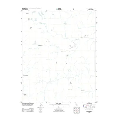
2012 Map of Cirque Peak
USGS Topo · Published 2012About this map
Horseshoe Meadow and a series of high-elevation basins define this section of the High Sierra as it appeared in 2012. The landscape is marked by a network of seasonal camps and infrastructure including Golden Trout Camp, Mulkey Cow Camp, and the site of the Cottonwood Sawmill. These locations, accessible via the winding Horseshoe Meadows Rd, highlight the area's history of recreation and resource management.
Find a feature on this map
40 named features on this map. Tap any name to fly to it.
Don’t see what you’re looking for? This feature index may not catch every label — zoom into the map to look around manually.
Map Details
Editions of this 2012 Cirque Peak Map
This is the sole edition of this map. No revisions or reprints were ever made.
Other maps of this area

1905 · Olancha
USGS Topo · 1:125,000

1907 · Olancha
USGS Topo · 1:125,000

1907 · Mt. Whitney
USGS Topo · 1:125,000

1919 · Mt. Whitney
USGS Topo · 1:125,000

1937 · Mt. Whitney
USGS Topo · 1:125,000

1948 · Fresno
USGS Topo · 1:250,000

1955 · Fresno
USGS Topo · 1:250,000

1956 · Fresno
USGS Topo · 1:250,000

1956 · Mount Whitney
USGS Topo · 1:62,500

1956 · Olancha
USGS Topo · 1:62,500