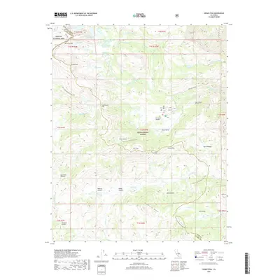
2018 Map of Cirque Peak
USGS Topo · Published 2018About this map
Cirque Peak stands as the centerpiece of this high-elevation landscape where the boundaries of Sequoia National Park and Inyo National Forest meet. The geography is defined by a dense network of alpine water bodies, including the tiered Cottonwood Lake Number One through Cottonwood Lake Number Four and the isolated Muir Lake. The transit through this difficult terrain is marked by significant mountain crossings such as Army Pass, New Army Pass, and Cottonwood Pass, which connect the eastern slopes to the high basins.
Find a feature on this map
55 named features on this map. Tap any name to fly to it.
Don’t see what you’re looking for? This feature index may not catch every label — zoom into the map to look around manually.
Map Details
Editions of this 2018 Cirque Peak Map
This is the sole edition of this map. No revisions or reprints were ever made.
Other maps of this area

1905 · Olancha
USGS Topo · 1:125,000

1907 · Olancha
USGS Topo · 1:125,000

1907 · Mt. Whitney
USGS Topo · 1:125,000

1919 · Mt. Whitney
USGS Topo · 1:125,000

1937 · Mt. Whitney
USGS Topo · 1:125,000

1948 · Fresno
USGS Topo · 1:250,000

1955 · Fresno
USGS Topo · 1:250,000

1956 · Fresno
USGS Topo · 1:250,000

1956 · Mount Whitney
USGS Topo · 1:62,500

1956 · Olancha
USGS Topo · 1:62,500