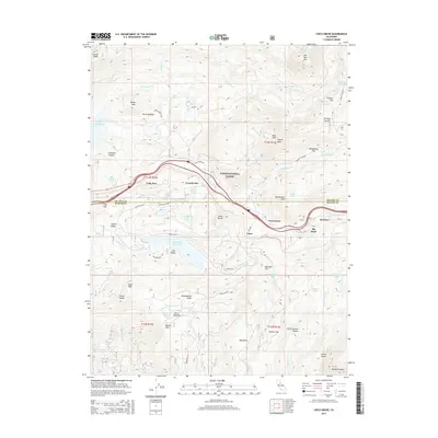
2015 Map of Cisco Grove
USGS Topo · Published 2015About this map
Cisco Grove and the surrounding high Sierra Nevada landscape are defined by a complex network of alpine reservoirs and the historic transportation corridor of the S Yuba River. This survey captures the region's hydraulic history, showing large-scale water management features like Lake Spaulding, Fordyce Lake, and the Lake Valley Reservoir. These bodies of water, connected by rugged drainages such as Fordyce Cr and the N Fork North Fork American River, were foundational to California's early mining and hydroelectric development.
Find a feature on this map
69 named features on this map. Tap any name to fly to it.
Don’t see what you’re looking for? This feature index may not catch every label — zoom into the map to look around manually.
Map Details
Editions of this 2015 Cisco Grove Map
This is the sole edition of this map. No revisions or reprints were ever made.
Other maps of this area

1891 · Colfax
USGS Topo · 1:125,000

1891 · Truckee
USGS Topo · 1:125,000

1892 · Colfax
USGS Topo · 1:125,000

1893 · Truckee
USGS Topo · 1:125,000

1894 · Colfax
USGS Topo · 1:125,000

1895 · Truckee
USGS Topo · 1:125,000

1898 · Colfax
USGS Topo · 1:125,000

1900 · Colfax
USGS Topo · 1:125,000

1902 · Colfax
USGS Topo · 1:125,000

1932 · Truckee
USGS Topo · 1:96,000