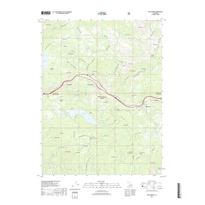
2018 Map of Cisco Grove
USGS Topo · Published 2018About this map
Cisco and Big Bend occupy a vital corridor through the Sierra Nevada, where the S Yuba River and Hampshire Rocks Rd navigate the high-elevation terrain of Tahoe National Forest. This 2018 survey detail shows a landscape deeply defined by its water resources and transit history, from the massive Lake Spaulding and Lake Valley Reservoir to the numerous alpine catchments like Loch Leven Lakes and Blue Lake. The map tracks the complex network of specialized routes that serve this backcountry, including the Fordyce Jeep Trail, Spaulding Lake Trail, and the Pierce OHV connector. From the heights of Signal Peak and Red Mtn down to Yuba Gap, the topography illustrates the engineering required to maintain passage through the granite canyons of the N Fork N Fork American River.
Find a feature on this map
84 named features on this map. Tap any name to fly to it.
Don’t see what you’re looking for? This feature index may not catch every label — zoom into the map to look around manually.
Map Details
Editions of this 2018 Cisco Grove Map
This is the sole edition of this map. No revisions or reprints were ever made.
Other maps of this area

1891 · Colfax
USGS Topo · 1:125,000

1891 · Truckee
USGS Topo · 1:125,000

1892 · Colfax
USGS Topo · 1:125,000

1893 · Truckee
USGS Topo · 1:125,000

1894 · Colfax
USGS Topo · 1:125,000

1895 · Truckee
USGS Topo · 1:125,000

1898 · Colfax
USGS Topo · 1:125,000

1900 · Colfax
USGS Topo · 1:125,000

1902 · Colfax
USGS Topo · 1:125,000

1932 · Truckee
USGS Topo · 1:96,000