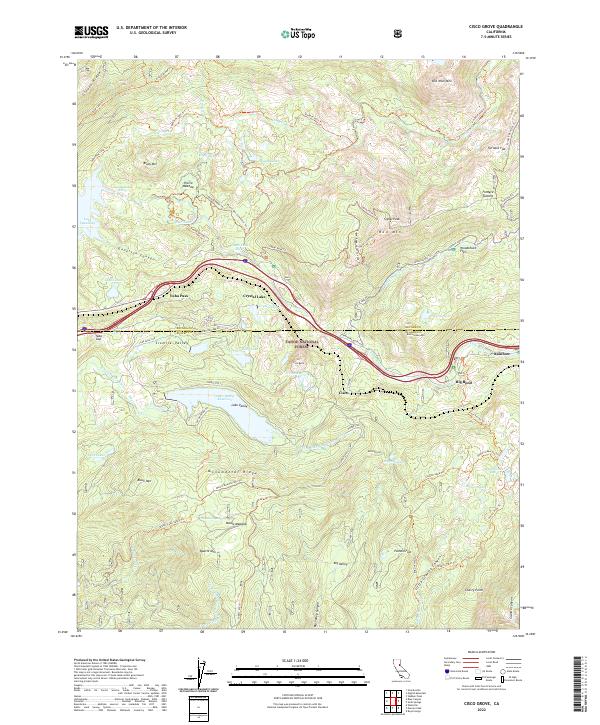
2022 Map of Cisco Grove
USGS Topo · Published 2022About this map
Cisco and the surrounding high Sierra landscape define this corridor within the Tahoe National Forest. The map documents a significant high-altitude transport and water management network, where the South Yuba River and the Yuba River meet a complex system of reservoirs and alpine lakes. The geography is marked by massive granite features like Old Man Mtn and Signal Peak, alongside specialized recreational infrastructure such as the Mears Meadow Ohv Trl and Signal Lookout Loop Trl. This region, stretching across the Nevada and Placer county line, shows the modern footprint of historical mountain crossings at Yuba Pass and Yuba Gap. The presence of the Lake Valley Reservoir and numerous smaller bodies of water like the Loch Leven Lakes highlights the area's role in the regional watershed and hydroelectric system.
Find a feature on this map
83 named features on this map. Tap any name to fly to it.
Don’t see what you’re looking for? This feature index may not catch every label — zoom into the map to look around manually.
Map Details
Editions of this 2022 Cisco Grove Map
This is the sole edition of this map. No revisions or reprints were ever made.
Other maps of this area

1891 · Colfax
USGS Topo · 1:125,000

1891 · Truckee
USGS Topo · 1:125,000

1892 · Colfax
USGS Topo · 1:125,000

1893 · Truckee
USGS Topo · 1:125,000

1894 · Colfax
USGS Topo · 1:125,000

1895 · Truckee
USGS Topo · 1:125,000

1898 · Colfax
USGS Topo · 1:125,000

1900 · Colfax
USGS Topo · 1:125,000

1902 · Colfax
USGS Topo · 1:125,000

1932 · Truckee
USGS Topo · 1:96,000