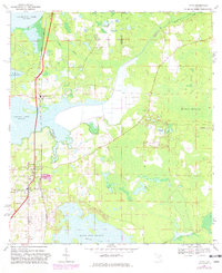
1967 Map of Citra
USGS Topo · Published 1982About this map
The community of Citra stands as a central point of interest in this North Florida landscape, where the Seaboard Coast Line railroad dictates the local geography. This 1967 survey, later revised to reflect changes in the early 1980s, reveals a territory defined by complex wetlands and family-named landmarks. Genealogists can find numerous burial grounds including Antioch Cem, Carlton Cem, and Tompkins Cem, while spiritual life is anchored by St Johns Ch and Willow Plant Ch.
Find a feature on this map
30 named features on this map. Tap any name to fly to it.
Don’t see what you’re looking for? This feature index may not catch every label — zoom into the map to look around manually.
Map Details
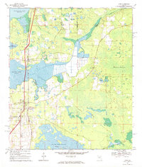
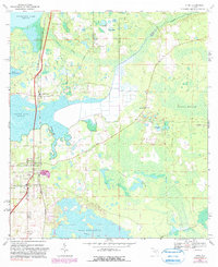
Editions of this 1967 Citra Map
3 editions found
Other maps of this area

1893 · Citra
USGS Topo · 1:62,500

1895 · Citra
USGS Topo · 1:62,500

1915 · Interlachen
USGS Topo · 1:48,000

1916 · Interlachen
USGS Topo · 1:62,500

1938 · Hawthorn
USGS Topo · 1:48,000

1943 · Hawthorn
USGS Topo · 1:62,500

1944 · Interlachen
USGS Topo · 1:62,500

1949 · Keuka
USGS Topo · 1:24,000

1949 · Interlachen
USGS Topo · 1:62,500

1954 · Gainesville
USGS Topo · 1:250,000