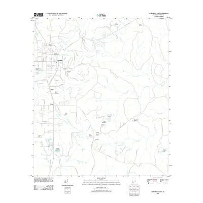
2011 Map of Citronelle East
USGS Topo · Published 2011About this map
Citronelle and its eastern environs are characterized by a network of small creeks and community-centered landmarks in this 21st-century landscape. The area is dense with historical sites for genealogical research, including the Citronelle Methodist Church Cemetery and the family-named Meinhardt Cemetery, Frazier Cemetery, and Lambert Cemetery. The topography is defined by the drainage of Chickasaw Creek and the meandering Cedar Creek, which feed into localized reservoirs such as Howard E Smith Lake and H G Quinnelly Lake, both of which are managed by significant dams.
Find a feature on this map
107 named features on this map. Tap any name to fly to it.
Don’t see what you’re looking for? This feature index may not catch every label — zoom into the map to look around manually.
Map Details
Editions of this 2011 Citronelle East Map
This is the sole edition of this map. No revisions or reprints were ever made.
Other maps of this area

1941 · Creola
USGS Topo · 1:62,500

1942 · Deer Park
USGS Topo · 1:62,500

1942 · Wilmer
USGS Topo · 1:62,500

1943 · Creola
USGS Topo · 1:62,500

1943 · Deer Park
USGS Topo · 1:62,500

1943 · Citronelle
USGS Topo · 1:62,500

1944 · Wilmer
USGS Topo · 1:62,500

1946 · Citronelle
USGS Topo · 1:62,500

1953 · Hattiesburg
USGS Topo · 1:250,000

1953 · Mobile
USGS Topo · 1:250,000