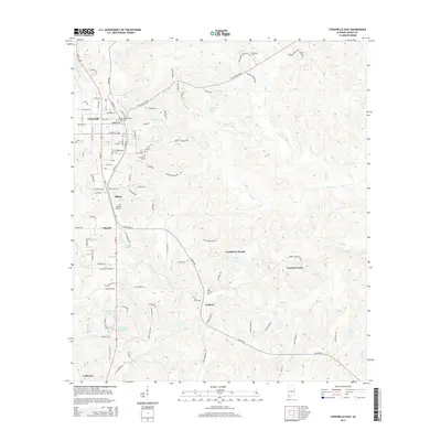
2014 Map of Citronelle East
USGS Topo · Published 2014About this map
Citronelle serves as the primary hub of this Alabama landscape, situated where the terrain rises toward the Cherokee Mineral Springs. The town's grid is anchored by the Citronelle Methodist Church, with neighborhood names and family legacies preserved in numerous burial grounds like Pine Crest Cem and Mt Nebo Cem. To the southeast, the landscape transitions into a more rural pattern of smaller settlements, including Scoutshire Woods, Lambert Grove, and Lambert. Waterways define the local geography, with Chickasaw Cr and its tributaries such as Little Cr and Citronelle Br carving through the elevation. This era shows a well-established network of residential clusters and private ponds like Howard E Smith Lake and H G Quinnelly Lake, reflecting the region's 21st-century residential and recreational development.
Find a feature on this map
114 named features on this map. Tap any name to fly to it.
Don’t see what you’re looking for? This feature index may not catch every label — zoom into the map to look around manually.
Map Details
Editions of this 2014 Citronelle East Map
This is the sole edition of this map. No revisions or reprints were ever made.
Other maps of this area

1941 · Creola
USGS Topo · 1:62,500

1942 · Deer Park
USGS Topo · 1:62,500

1942 · Wilmer
USGS Topo · 1:62,500

1943 · Creola
USGS Topo · 1:62,500

1943 · Deer Park
USGS Topo · 1:62,500

1943 · Citronelle
USGS Topo · 1:62,500

1944 · Wilmer
USGS Topo · 1:62,500

1946 · Citronelle
USGS Topo · 1:62,500

1953 · Hattiesburg
USGS Topo · 1:250,000

1953 · Mobile
USGS Topo · 1:250,000