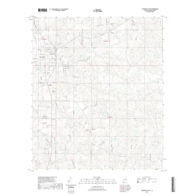
2018 Map of Citronelle East
USGS Topo · Published 2018About this map
The town of Citronelle serves as the focal point for this survey of Mobile County, situated along the drainage divide between Cedar Cr and Chickasaw Cr. The landscape is defined by its numerous small tributaries and man-made impoundments like Spring Lake and Howard E Smith Lake. Genealogy and local history are particularly well-represented through a dense concentration of burial grounds, including the Citronelle Methodist Church Cem and the multi-plot Lambert Cems.
Find a feature on this map
109 named features on this map. Tap any name to fly to it.
Don’t see what you’re looking for? This feature index may not catch every label — zoom into the map to look around manually.
Map Details
Editions of this 2018 Citronelle East Map
This is the sole edition of this map. No revisions or reprints were ever made.
Other maps of this area

1941 · Creola
USGS Topo · 1:62,500

1942 · Deer Park
USGS Topo · 1:62,500

1942 · Wilmer
USGS Topo · 1:62,500

1943 · Creola
USGS Topo · 1:62,500

1943 · Deer Park
USGS Topo · 1:62,500

1943 · Citronelle
USGS Topo · 1:62,500

1944 · Wilmer
USGS Topo · 1:62,500

1946 · Citronelle
USGS Topo · 1:62,500

1953 · Hattiesburg
USGS Topo · 1:250,000

1953 · Mobile
USGS Topo · 1:250,000