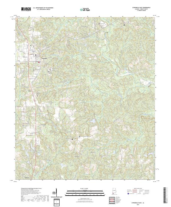
2024 Map of Citronelle East
USGS Topo · Published 2024About this map
Citronelle serves as the primary hub of this landscape, where a dense grid of streets like Centre St and Alabama St intersects with the Alabama & Gulf Coast Railway. The town's historical foundations are evident in the presence of the Citronelle United Methodist Church and several community burial grounds, including Pine Crest Cem and Mount Nebo Cem. South of the main settlement, the smaller communities of Sidney and Gulfcrest follow the rail corridor and highway.
Find a feature on this map
120 named features on this map. Tap any name to fly to it.
Don’t see what you’re looking for? This feature index may not catch every label — zoom into the map to look around manually.
Map Details
Editions of this 2024 Citronelle East Map
This is the sole edition of this map. No revisions or reprints were ever made.
Other maps of this area

1941 · Creola
USGS Topo · 1:62,500

1942 · Deer Park
USGS Topo · 1:62,500

1942 · Wilmer
USGS Topo · 1:62,500

1943 · Creola
USGS Topo · 1:62,500

1943 · Deer Park
USGS Topo · 1:62,500

1943 · Citronelle
USGS Topo · 1:62,500

1944 · Wilmer
USGS Topo · 1:62,500

1946 · Citronelle
USGS Topo · 1:62,500

1953 · Hattiesburg
USGS Topo · 1:250,000

1953 · Mobile
USGS Topo · 1:250,000