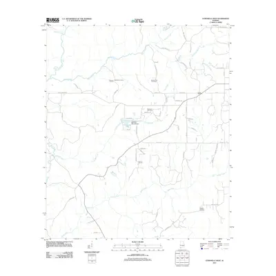
2011 Map of Citronelle West
USGS Topo · Published 2011About this map
Citronelle Lake and its surrounding watershed define this coastal plain landscape north of Mobile. The map reveals a community structured around water and recreation, featuring the Citronelle Municipal Park Lake Dam and the nearby Mill Creek Golf Course. The network of local roads, such as Beverly Jeffries Hwy and Tanner Rd, connects small-scale farms and residences to more distinct landmarks like the Oil City Speedway.
Find a feature on this map
58 named features on this map. Tap any name to fly to it.
Don’t see what you’re looking for? This feature index may not catch every label — zoom into the map to look around manually.
Map Details
Editions of this 2011 Citronelle West Map
This is the sole edition of this map. No revisions or reprints were ever made.
Other maps of this area

1941 · Creola
USGS Topo · 1:62,500

1942 · Deer Park
USGS Topo · 1:62,500

1942 · Wilmer
USGS Topo · 1:62,500

1943 · Creola
USGS Topo · 1:62,500

1943 · Deer Park
USGS Topo · 1:62,500

1943 · Citronelle
USGS Topo · 1:62,500

1944 · Wilmer
USGS Topo · 1:62,500

1946 · Citronelle
USGS Topo · 1:62,500

1953 · Hattiesburg
USGS Topo · 1:250,000

1953 · Mobile
USGS Topo · 1:250,000