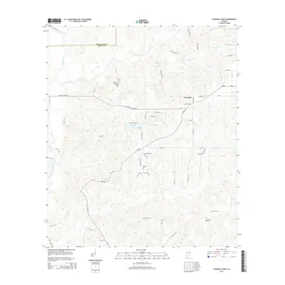
2014 Map of Citronelle West
USGS Topo · Published 2014About this map
Citronelle serves as the primary hub in this corner of Mobile County, where the plateau landscape meets the drainage basin of the Escataupa River. The terrain is defined by a dense network of tributaries including Lotts Mill Cr, Puppy Cr, and Bennett Creek, which carve through the undulating topography west of the town center. Local history is anchored by several family and community burial grounds, such as Baxter Will Cem, New Hope Cem, and Brannon Cem, providing valuable points of reference for genealogical research in this rural Gulf Coast region. Small-scale water features like Citronelle Lake and Rascoe Farm Pond dot the landscape, while the boundary between Washington and Mobile counties is clearly delineated in the northwest. The map captures a transition between the established street grid of the town and the winding rural routes like Lott Rd and Prine Rd that extend into the surrounding timberlands and creek bottoms.
Find a feature on this map
63 named features on this map. Tap any name to fly to it.
Don’t see what you’re looking for? This feature index may not catch every label — zoom into the map to look around manually.
Map Details
Editions of this 2014 Citronelle West Map
This is the sole edition of this map. No revisions or reprints were ever made.
Other maps of this area

1941 · Creola
USGS Topo · 1:62,500

1942 · Deer Park
USGS Topo · 1:62,500

1942 · Wilmer
USGS Topo · 1:62,500

1943 · Creola
USGS Topo · 1:62,500

1943 · Deer Park
USGS Topo · 1:62,500

1943 · Citronelle
USGS Topo · 1:62,500

1944 · Wilmer
USGS Topo · 1:62,500

1946 · Citronelle
USGS Topo · 1:62,500

1953 · Hattiesburg
USGS Topo · 1:250,000

1953 · Mobile
USGS Topo · 1:250,000