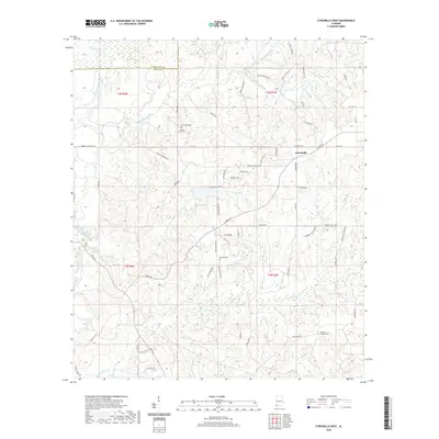
2020 Map of Citronelle West
USGS Topo · Published 2020About this map
The town of Citronelle anchors this corner of Mobile County, situated just south of the boundary with Washington County. The landscape is defined by the winding course of the Escatawpa River and a dense network of tributaries including Lotts Mill Cr and Puppy Cr. Numerous family-named roads like Billy Walker Rd and Robert Walker Rd crisscross the area, suggesting a long history of local landholdings. Several historical burial sites are scattered across the terrain, including New Hope Cem, Baxter Will Cem, and the Brannan Cem near the central drainage. To the southeast, the Whatley Holiness Cem is located along the rise above Puppy Cr, providing valuable geographic markers for genealogists tracing families from this part of Alabama.
Find a feature on this map
67 named features on this map. Tap any name to fly to it.
Don’t see what you’re looking for? This feature index may not catch every label — zoom into the map to look around manually.
Map Details
Editions of this 2020 Citronelle West Map
This is the sole edition of this map. No revisions or reprints were ever made.
Other maps of this area

1941 · Creola
USGS Topo · 1:62,500

1942 · Deer Park
USGS Topo · 1:62,500

1942 · Wilmer
USGS Topo · 1:62,500

1943 · Creola
USGS Topo · 1:62,500

1943 · Deer Park
USGS Topo · 1:62,500

1943 · Citronelle
USGS Topo · 1:62,500

1944 · Wilmer
USGS Topo · 1:62,500

1946 · Citronelle
USGS Topo · 1:62,500

1953 · Hattiesburg
USGS Topo · 1:250,000

1953 · Mobile
USGS Topo · 1:250,000