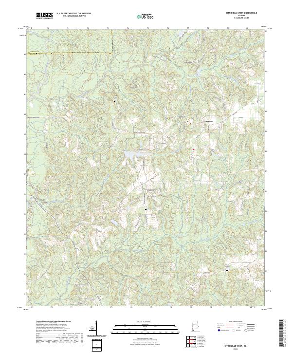
2024 Map of Citronelle West
USGS Topo · Published 2024About this map
Citronelle serves as the primary hub for this portion of the Gulf Coastal Plain, where the western edge of the town meets a landscape defined by an intricate network of waterways. The Escatawpa River and its numerous tributaries, including Lotts Mill Creek and Puppy Creek, carve through the terrain, illustrating the drainage patterns that have historically shaped local land use. The map reveals a community structured around family-named corridors such as Robert Walker Rd and Lonnie Walker Rd, reflecting deep-rooted ties to the land.
Find a feature on this map
69 named features on this map. Tap any name to fly to it.
Don’t see what you’re looking for? This feature index may not catch every label — zoom into the map to look around manually.
Map Details
Editions of this 2024 Citronelle West Map
This is the sole edition of this map. No revisions or reprints were ever made.
Other maps of this area

1941 · Creola
USGS Topo · 1:62,500

1942 · Deer Park
USGS Topo · 1:62,500

1942 · Wilmer
USGS Topo · 1:62,500

1943 · Creola
USGS Topo · 1:62,500

1943 · Deer Park
USGS Topo · 1:62,500

1943 · Citronelle
USGS Topo · 1:62,500

1944 · Wilmer
USGS Topo · 1:62,500

1946 · Citronelle
USGS Topo · 1:62,500

1953 · Hattiesburg
USGS Topo · 1:250,000

1953 · Mobile
USGS Topo · 1:250,000