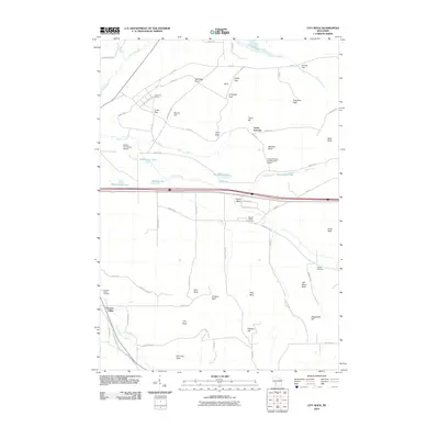
2010 Map of City Rock
USGS Topo · Published 2010About this map
City Rock and Chimney Rock anchor the southern reach of this Monroe County landscape, characterized by prominent sandstone outcrops and a network of named passes. The terrain is marked by numerous distinctive peaks and rock formations, including Jeff Davis Rock, Face Rock, and Chicken Rock, which overlook the headwaters of Farmers Valley Creek. This area in the Driftless Area shows a clear divide between the lowlands of Farmers Valley and the higher plateaus accessed through gaps like Lafayette Pass and Upper Pass.
Find a feature on this map
72 named features on this map. Tap any name to fly to it.
Don’t see what you’re looking for? This feature index may not catch every label — zoom into the map to look around manually.
Map Details
Editions of this 2010 City Rock Map
This is the sole edition of this map. No revisions or reprints were ever made.
Other maps of this area

1909 · Sparta
USGS Topo · 1:62,500

1916 · Tomah
USGS Topo · 1:62,500

1928 · Melrose
USGS Topo · 1:48,000

1947 · Millston
USGS Topo · 1:62,500

1947 · Sparta
USGS Topo · 1:62,500

1949 · Millston
USGS Topo · 1:62,500

1949 · Sparta
USGS Topo · 1:62,500

1949 · Tomah
USGS Topo · 1:62,500

1949 · Melrose
USGS Topo · 1:62,500

1953 · Eau Claire
USGS Topo · 1:250,000