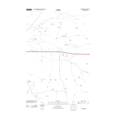
2013 Map of City Rock
USGS Topo · Published 2013About this map
Old Camp McCoy and the neighboring military infrastructure define the northern landscape of this Monroe County quadrangle. The map details a complex network of named passes and knolls, such as Lafayette Pass, Raymore Pass, and Selfridge Knoll, which suggest the strategic importance of the terrain. The area is also marked by significant aviation and military training facilities, including the Sparta/Fort Mc Coy Airport and the Young Tactical Landing Site.
Find a feature on this map
72 named features on this map. Tap any name to fly to it.
Don’t see what you’re looking for? This feature index may not catch every label — zoom into the map to look around manually.
Map Details
Editions of this 2013 City Rock Map
This is the sole edition of this map. No revisions or reprints were ever made.
Other maps of this area

1909 · Sparta
USGS Topo · 1:62,500

1916 · Tomah
USGS Topo · 1:62,500

1928 · Melrose
USGS Topo · 1:48,000

1947 · Millston
USGS Topo · 1:62,500

1947 · Sparta
USGS Topo · 1:62,500

1949 · Millston
USGS Topo · 1:62,500

1949 · Sparta
USGS Topo · 1:62,500

1949 · Tomah
USGS Topo · 1:62,500

1949 · Melrose
USGS Topo · 1:62,500

1953 · Eau Claire
USGS Topo · 1:250,000