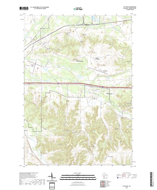
2022 Map of City Rock
USGS Topo · Published 2022About this map
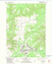
City Rock and the surrounding Monroe County landscape are defined by a series of dramatic geological outcrops and high-ground crossings. These natural features, including Jeff Davis Rock, Chicken Rock, and Chimney Rock, dictated the placement of early routes through the region. Military and civilian history intersect at the Sparta/Fort McCoy Airport and the nearby Young Tactical Landing Site. For genealogists, the map identifies local resting places such as Mound Prairie Cem and the Farmers Valley Cem. The drainage patterns of Farmers Valley Cr and Stillwell Creek further illustrate how the geography of Coles Valley and Farmers Valley shaped settlement patterns. The presence of the Elroy-Sparta State Trl reflects the repurposing of the area's older transportation corridors for modern recreation.
Find a feature on this map
86 named features on this map. Tap any name to fly to it.
Don’t see what you’re looking for? This feature index may not catch every label — zoom into the map to look around manually.
Map Details
Editions of this 2022 City Rock Map
This is the sole edition of this map. No revisions or reprints were ever made.
Historical Maps of Angelo Through Time
15 maps found
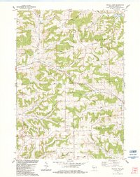
1976 Sparta NE
Monroe County, WI
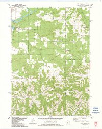
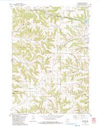
1976 Tomah NE
Monroe County, WI
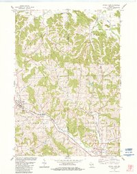
1976 Tomah NW
Monroe County, WI
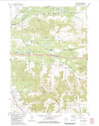
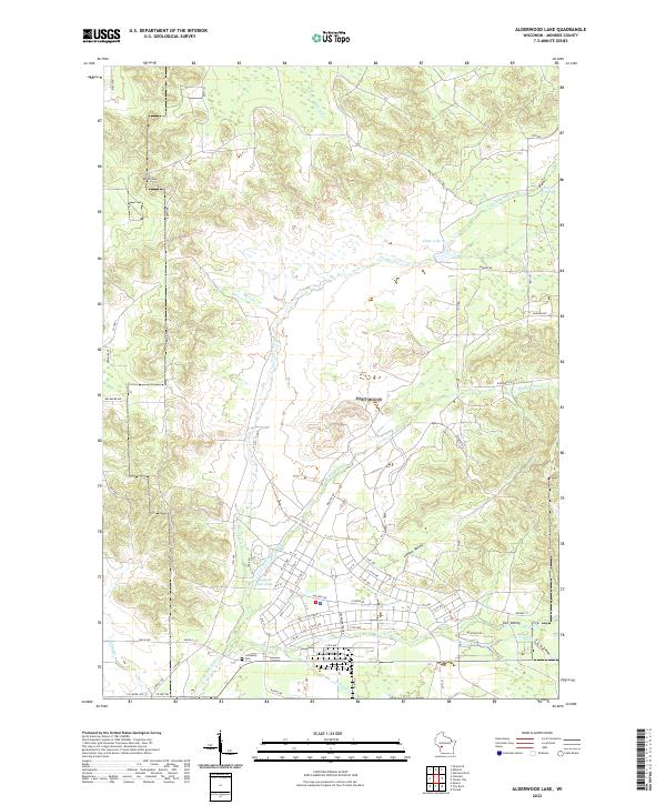
1983 Alderwood Lake
Monroe County, WI
1983 City Rock
Monroe County, WI
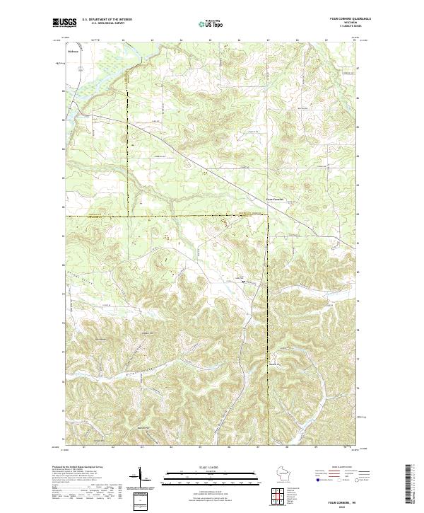
1983 Four Corners
Monroe County, WI
1983 Kendall East
Monroe County, WI
1983 Kendall West
Monroe County, WI
1983 St. Marys
Monroe County, WI
2022 Alderwood Lake
Monroe County, WI
2022 City Rock
Monroe County, WI
2022 Four Corners
Monroe County, WI
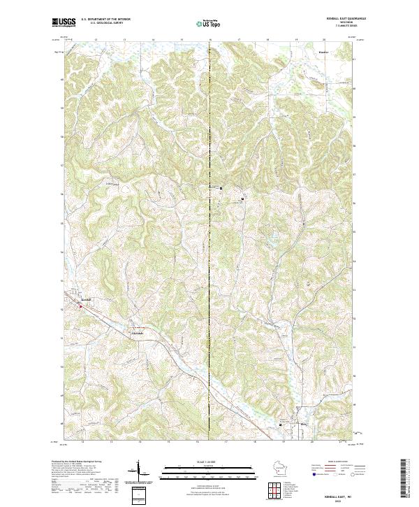
2022 Kendall East
Monroe County, WI
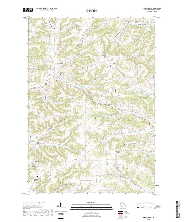
2022 Kendall West
Monroe County, WI

2022 Saint Marys
Monroe County, WI