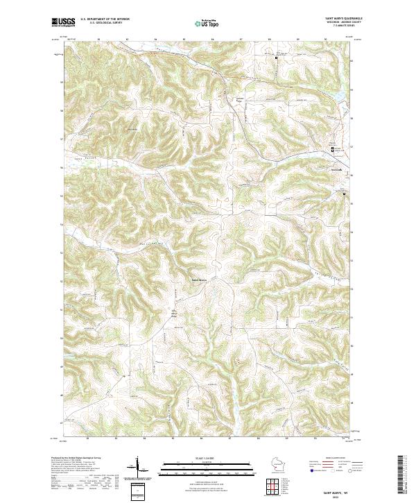
2022 Map of Saint Marys
USGS Topo · Published 2022About this map
Saint Marys Ridge and Summit Ridge define the complex topography of this Monroe County landscape, where deep drainages like Lyon Valley and Halls Valley cut through the high ground. The settlement of Saint Marys sits centrally on the ridge, serving as a focal point for the surrounding rural area. To the northeast, the village of Norwalk is situated near several burial grounds, including the Norwalk Catholic Cem and Pilgrims Home Cem. The modern infrastructure of the Elroy-Sparta State Trl follows a historic corridor through Farmers Valley, tracing a path that once supported the region's rail-dependent economy. Notable water features such as Brush Cr and Pinnacle Rock Pond illustrate the local hydrology, while named landmarks like Red Rock provide specific geographic anchors for genealogists and local historians tracking family landholdings in this dissected portion of the Driftless Area.
Find a feature on this map
81 named features on this map. Tap any name to fly to it.
Don’t see what you’re looking for? This feature index may not catch every label — zoom into the map to look around manually.
Map Details
Editions of this 2022 Saint Marys Map
This is the sole edition of this map. No revisions or reprints were ever made.
Other maps of this area

1909 · Sparta
USGS Topo · 1:62,500

1916 · Tomah
USGS Topo · 1:62,500

1923 · Viroqua
USGS Topo · 1:62,500

1926 · Viroqua
USGS Topo · 1:62,500

1926 · La Farge
USGS Topo · 1:62,500

1947 · Sparta
USGS Topo · 1:62,500

1949 · Sparta
USGS Topo · 1:62,500

1949 · Tomah
USGS Topo · 1:62,500

1958 · La Crosse
USGS Topo · 1:250,000

1961 · La Crosse
USGS Topo · 1:250,000