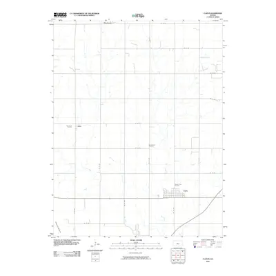
2009 Map of Claflin
USGS Topo · Published 2009About this map
Claflin stands as the primary hub of this Barton County landscape, where the town's street grid, including A St and D St, meets the regional highway. The surrounding plains are marked by small rural communities like Odin and Hitschmann, each connected by a precise network of sectional roads such as NE 140 Rd. For those tracing local heritage, several burial grounds are documented, including Holy Family Cemetery, Bloomingdale Cemetery, and Pleasant View Cemetery. The terrain is defined by the winding course of Cow Creek and the northeastern margins of Cheyenne Bottoms, indicating the proximity to one of the most significant wetland systems in the region. This 2009 survey reflects the enduring agricultural layout of the Kansas prairie, maintaining a rigid grid of avenues and roads that have facilitated travel and trade for generations.
Find a feature on this map
25 named features on this map. Tap any name to fly to it.
Don’t see what you’re looking for? This feature index may not catch every label — zoom into the map to look around manually.
Map Details
Editions of this 2009 Claflin Map
This is the sole edition of this map. No revisions or reprints were ever made.
Other maps of this area

1891 · Great Bend
USGS Topo · 1:125,000

1893 · Great Bend
USGS Topo · 1:125,000

1894 · Ellsworth
USGS Topo · 1:125,000

1894 · Lyons
USGS Topo · 1:125,000

1896 · Russell
USGS Topo · 1:125,000

1955 · Great Bend
USGS Topo · 1:250,000

1956 · Ellinwood NE
USGS Topo · 1:24,000

1956 · Ellinwood NW
USGS Topo · 1:24,000

1957 · Great Bend
USGS Topo · 1:250,000

1958 · Great Bend
USGS Topo · 1:250,000