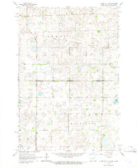
1964 Map of Claire City NE
USGS Topo · Published 1966About this map
Sisseton Indian Reservation lands dominate this mid-1960s landscape where the borders of North Dakota and South Dakota meet. This region, characterized by a dense network of prairie potholes and wetlands, shows a rural settlement pattern rooted in small community institutions. Local heritage is centered around congregational hubs like Zion Ch and St Pauls Ch, the latter featuring an adjacent St Pauls Cem.
Find a feature on this map
13 named features on this map. Tap any name to fly to it.
Don’t see what you’re looking for? This feature index may not catch every label — zoom into the map to look around manually.
Map Details
Editions of this 1964 Claire City NE Map
This is the sole edition of this map. No revisions or reprints were ever made.
Other maps of this area

1904 · Wahpeton
USGS Topo · 1:125,000

1907 · Wyndmere
USGS Topo · 1:125,000

1917 · New Effington
USGS Topo · 1:62,500

1953 · Milbank
USGS Topo · 1:250,000

1953 · Fargo
USGS Topo · 1:250,000

1956 · Fargo
USGS Topo · 1:250,000

1958 · Milbank
USGS Topo · 1:250,000

1964 · Hankinson
USGS Topo · 1:24,000
1964 · Lidgerwood
USGS Topo · 1:24,000
1964 · Swan Lake
USGS Topo · 1:24,000