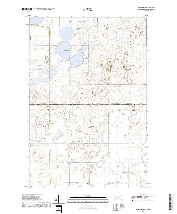
2024 Map of Claire City NW
USGS Topo · Published 2024About this map
Park Lakebed and Kennedy Slough dominate the northern landscape of this prairie region, illustrating the hydrologic character of the Coteau des Prairies. This contemporary survey captures a network of rural section lines including 100th St SE and Co Rd 5 that grid the borderlands between North Dakota and South Dakota. The topography is defined by significant conservation tracts, most notably the Richland County Waterfowl Production Area and the Roberts County Waterfowl Production Area, which protect vital prairie pothole habitat. To the south, the headwaters of the Little Minnesota River trace a path across the state line, marking a geographical transition in the drainage patterns of this agricultural and conservation-focused corridor.
Find a feature on this map
29 named features on this map. Tap any name to fly to it.
Don’t see what you’re looking for? This feature index may not catch every label — zoom into the map to look around manually.
Map Details
Editions of this 2024 Claire City NW Map
This is the sole edition of this map. No revisions or reprints were ever made.
Other maps of this area

1907 · Wyndmere
USGS Topo · 1:125,000

1953 · Milbank
USGS Topo · 1:250,000

1953 · Fargo
USGS Topo · 1:250,000

1956 · Fargo
USGS Topo · 1:250,000

1958 · Milbank
USGS Topo · 1:250,000

1958 · Veblen
USGS Topo · 1:24,000

1958 · Veblen NE
USGS Topo · 1:24,000

1958 · Geneseo
USGS Topo · 1:24,000
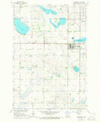
1964 · Lidgerwood
USGS Topo · 1:24,000
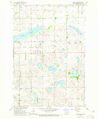
1964 · Swan Lake
USGS Topo · 1:24,000