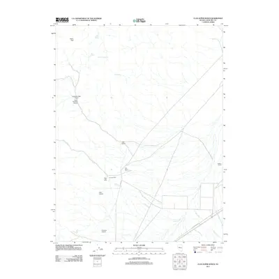
2011 Map of Clan Alpine Ranch
USGS Topo · Published 2011About this map
Clan Alpine Ranch serves as a primary reference point in this high-desert region of Churchill County, where the landscape is defined by deep canyons and scattered mountain springs. The presence of the Alpine Post Office and the Clan Alpine Mill indicates a history of local industry and communication centers rooted in the rugged terrain. These features, situated along Clan Alpine Rd, reflect the persistence of small-scale settlement and ranching operations in a remote environment.
Find a feature on this map
18 named features on this map. Tap any name to fly to it.
Don’t see what you’re looking for? This feature index may not catch every label — zoom into the map to look around manually.
Map Details
Editions of this 2011 Clan Alpine Ranch Map
This is the sole edition of this map. No revisions or reprints were ever made.
Other maps of this area

1955 · Millett
USGS Topo · 1:250,000

1959 · Millett
USGS Topo · 1:250,000

1966 · Clan Alpine Ranch
USGS Topo · 1:62,500

1966 · Edwards Creek Valley
USGS Topo · 1:62,500

1969 · Camp Creek Canyon
USGS Topo · 1:24,000

1969 · Cold Springs
USGS Topo · 1:24,000

1969 · Basque Summit
USGS Topo · 1:24,000

1983 · Edwards Creek Valley
USGS Topo · 1:100,000

1985 · Smith Creek Valley
USGS Topo · 1:100,000

1990 · Byers Ranch
USGS Topo · 1:24,000