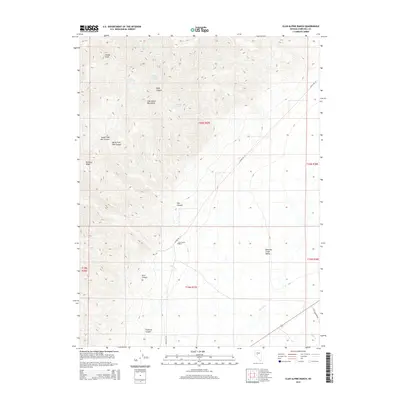
2015 Map of Clan Alpine Ranch
USGS Topo · Published 2015About this map
Clan Alpine Mountains define the topography of this high-elevation Nevada landscape, where the peaks of Shaley Peak and the high spine of Railroad Ridge overlook the broad drainage of the Edwards Creek Valley. The map highlights a vital water network essential for high-desert survival, featuring Deer Canyon Spring, Willow Spring, and Box Spring. In the valley, the Clan Alpine Ranch serves as a primary point of human settlement, connected to the wider region by Alpine Rd W and the historically significant Old Overland Rd. The terrain is deeply incised by numerous drainages, including the South Fork War Canyon and North Fork War Canyon, while seasonal flows like Cherry Cr and Cedar Cr weave through the alluvial fans below Starr Canyon and Florence Canyon.
Find a feature on this map
24 named features on this map. Tap any name to fly to it.
Don’t see what you’re looking for? This feature index may not catch every label — zoom into the map to look around manually.
Map Details
Editions of this 2015 Clan Alpine Ranch Map
This is the sole edition of this map. No revisions or reprints were ever made.
Other maps of this area

1955 · Millett
USGS Topo · 1:250,000

1959 · Millett
USGS Topo · 1:250,000

1966 · Clan Alpine Ranch
USGS Topo · 1:62,500

1966 · Edwards Creek Valley
USGS Topo · 1:62,500

1969 · Camp Creek Canyon
USGS Topo · 1:24,000

1969 · Cold Springs
USGS Topo · 1:24,000

1969 · Basque Summit
USGS Topo · 1:24,000

1983 · Edwards Creek Valley
USGS Topo · 1:100,000

1985 · Smith Creek Valley
USGS Topo · 1:100,000

1990 · Byers Ranch
USGS Topo · 1:24,000