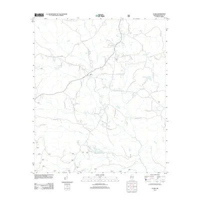
2012 Map of Clara
USGS Topo · Published 2012About this map
The settlement of Clara serves as the central hub of this eastern Mississippi landscape, where a dense network of family-named roads reflects the deep-rooted agricultural and rural heritage of Wayne County. The terrain is defined by a dendritic drainage system including Big Cr, Maynor Cr, and Turkey Cr, which likely shaped local property lines and travel routes for generations. Genealogists will find significant value in the distribution of family landmarks and burial sites, such as the Big Creek Cem near the northern reaches and Pittman Cem to the south. Further east, Mills Cem sits near the waters of Patrick Cr, highlighting how early settlers established communities along these vital watercourses. The inclusion of names like Moley Wise Rd and Thomas Hinton Dr provides a direct link to the families who have long shaped this part of the state.
Find a feature on this map
66 named features on this map. Tap any name to fly to it.
Don’t see what you’re looking for? This feature index may not catch every label — zoom into the map to look around manually.
Map Details
Editions of this 2012 Clara Map
This is the sole edition of this map. No revisions or reprints were ever made.
Other maps of this area

1953 · Hattiesburg
USGS Topo · 1:250,000

1958 · Hattiesburg
USGS Topo · 1:250,000

1964 · Denham
USGS Topo · 1:24,000

1964 · Knobtown
USGS Topo · 1:24,000

1964 · Clara
USGS Topo · 1:24,000

1964 · Mulberry
USGS Topo · 1:24,000

1964 · Waynesboro
USGS Topo · 1:24,000

1964 · Whistler
USGS Topo · 1:24,000

1964 · Buckatunna
USGS Topo · 1:24,000

1964 · Piave
USGS Topo · 1:24,000