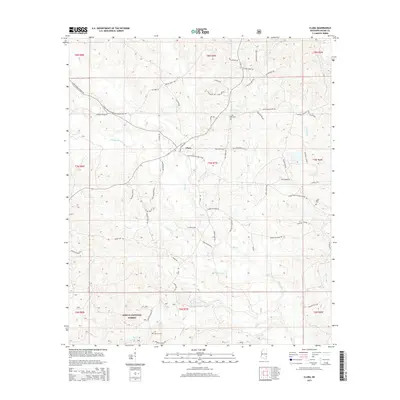
2015 Map of Clara
USGS Topo · Published 2015About this map
Clara anchors this portion of Wayne County, situated at a junction of rural routes where the landscape is defined by the headwaters and tributaries of several prominent drainage systems. The settlement is positioned near the confluence of Big Cr and its various branches, with Turkey Cr and Hathorn Br carving through the surrounding timberlands. To the south, the protected borders of the De Soto National Forest dominate the terrain, reflecting the region's enduring connection to the Mississippi Piney Woods. Local history and genealogy are preserved in small family and community burial grounds, including Big Creek Cem, Mills Cem, and Pittman Cem. The map illustrates a contemporary rural infrastructure where namesake roads like Clara School Rd and Buckatunna-Chicora-Clara Rd connect isolated homesteads and farmland to the central village.
Find a feature on this map
69 named features on this map. Tap any name to fly to it.
Don’t see what you’re looking for? This feature index may not catch every label — zoom into the map to look around manually.
Map Details
Editions of this 2015 Clara Map
This is the sole edition of this map. No revisions or reprints were ever made.
Other maps of this area

1953 · Hattiesburg
USGS Topo · 1:250,000

1958 · Hattiesburg
USGS Topo · 1:250,000

1964 · Denham
USGS Topo · 1:24,000

1964 · Knobtown
USGS Topo · 1:24,000

1964 · Clara
USGS Topo · 1:24,000

1964 · Mulberry
USGS Topo · 1:24,000

1964 · Waynesboro
USGS Topo · 1:24,000

1964 · Whistler
USGS Topo · 1:24,000

1964 · Buckatunna
USGS Topo · 1:24,000

1964 · Piave
USGS Topo · 1:24,000