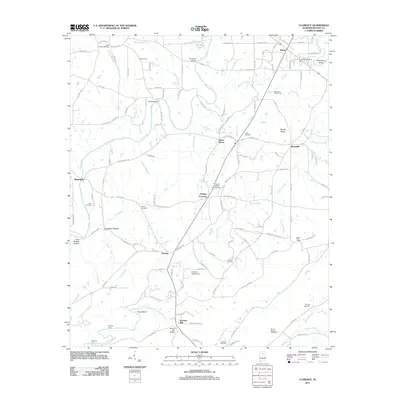
2011 Map of Clarence
USGS Topo · Published 2011About this map
Snead and the surrounding rural communities of Wynnville and Susan Moore define this Blount County landscape, where the meandering Locust Fork carves through the terrain. The map documents a network of small settlements and crossing points such as Fridays Crossing, Hendrix, and Reid Gap, illustrating the distributed nature of local habitation. The Snead Post Office serves as a central landmark for the area, while the Maple Hill Golf Course indicates more modern recreational development near the northern edge of the quadrangle.
Find a feature on this map
139 named features on this map. Tap any name to fly to it.
Don’t see what you’re looking for? This feature index may not catch every label — zoom into the map to look around manually.
Map Details
Editions of this 2011 Clarence Map
This is the sole edition of this map. No revisions or reprints were ever made.
Other maps of this area

1885 · Gadsden
USGS Topo · 1:125,000

1888 · Cullman
USGS Topo · 1:125,000

1888 · Gadsden
USGS Topo · 1:125,000

1889 · Springville
USGS Topo · 1:125,000

1889 · Birmingham
USGS Topo · 1:125,000

1892 · Cullman
USGS Topo · 1:125,000

1892 · Birmingham
USGS Topo · 1:125,000

1892 · Springville
USGS Topo · 1:125,000

1892 · Gadsden
USGS Topo · 1:125,000

1895 · Gadsden
USGS Topo · 1:125,000