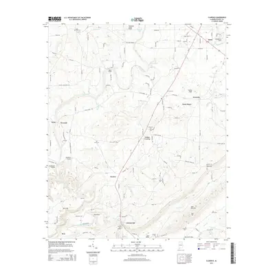
2014 Map of Clarence
USGS Topo · Published 2014About this map
Locust Fork winds through this portion of Blount County, providing a central drainage for the numerous creeks and branches that define the local topography. This 2014 survey captures the agricultural and residential character of north-central Alabama, where small settlements like Snead, Wynnville, and Hendrix are linked by Al-75. The landscape is physically divided by the Tennessee Valley Divide, with water flowing south toward the Calvert Prong Little Warrior River or north through the Locust Fork system.
Find a feature on this map
132 named features on this map. Tap any name to fly to it.
Don’t see what you’re looking for? This feature index may not catch every label — zoom into the map to look around manually.
Map Details
Editions of this 2014 Clarence Map
This is the sole edition of this map. No revisions or reprints were ever made.
Other maps of this area

1885 · Gadsden
USGS Topo · 1:125,000

1888 · Cullman
USGS Topo · 1:125,000

1888 · Gadsden
USGS Topo · 1:125,000

1889 · Springville
USGS Topo · 1:125,000

1889 · Birmingham
USGS Topo · 1:125,000

1892 · Cullman
USGS Topo · 1:125,000

1892 · Birmingham
USGS Topo · 1:125,000

1892 · Springville
USGS Topo · 1:125,000

1892 · Gadsden
USGS Topo · 1:125,000

1895 · Gadsden
USGS Topo · 1:125,000