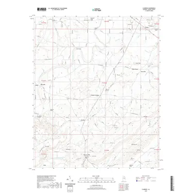
2020 Map of Clarence
USGS Topo · Published 2020About this map
Snead and the community of Susan Moore anchor this corner of Blount County, where the terrain is defined by the Tennessee Valley Divide and the winding course of the Locust Fork. The landscape is a complex network of ridges and hollows, including Singleton Hollow and Cold Branch Hollow, which have shaped local settlement patterns for generations. To the south, the topography rises toward Sand Mountain and Red Mtn, overlooking the agricultural reaches of Murphree Valley.
Find a feature on this map
145 named features on this map. Tap any name to fly to it.
Don’t see what you’re looking for? This feature index may not catch every label — zoom into the map to look around manually.
Map Details
Editions of this 2020 Clarence Map
This is the sole edition of this map. No revisions or reprints were ever made.
Other maps of this area

1885 · Gadsden
USGS Topo · 1:125,000

1888 · Cullman
USGS Topo · 1:125,000

1888 · Gadsden
USGS Topo · 1:125,000

1889 · Springville
USGS Topo · 1:125,000

1889 · Birmingham
USGS Topo · 1:125,000

1892 · Cullman
USGS Topo · 1:125,000

1892 · Birmingham
USGS Topo · 1:125,000

1892 · Springville
USGS Topo · 1:125,000

1892 · Gadsden
USGS Topo · 1:125,000

1895 · Gadsden
USGS Topo · 1:125,000