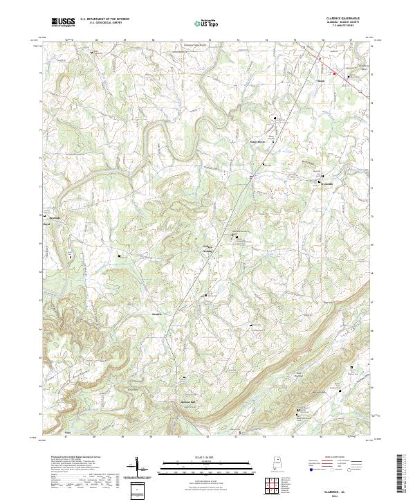
2024 Map of Clarence
USGS Topo · Published 2024About this map
Locust Fork meanders through the heart of Blount County, defining the agricultural and residential layout of this northern Alabama landscape. The map captures a high density of rural burial grounds and places of worship, including the Gibbs Chapel Cem and Bethel Church Cem, which serve as vital landmarks for genealogists tracing family histories in the region. Small communities such as Snead, Susan Moore, and Wynnville are connected by a network of county roads that navigate the distinct ridges of Sand Mountain and the Tennessee Valley Divide. In the southern reaches, Hortons Mill and the surrounding river bends of the Calvert Prong Little Warrior River showcase the traditional water-oriented settlement patterns of the area. Notable terrain features like Reid Gap and Berry Mountain illustrate the varied topography that has influenced local transit and land use for generations.
Find a feature on this map
153 named features on this map. Tap any name to fly to it.
Don’t see what you’re looking for? This feature index may not catch every label — zoom into the map to look around manually.
Map Details
Editions of this 2024 Clarence Map
This is the sole edition of this map. No revisions or reprints were ever made.
Other maps of this area

1885 · Gadsden
USGS Topo · 1:125,000

1888 · Cullman
USGS Topo · 1:125,000

1888 · Gadsden
USGS Topo · 1:125,000

1889 · Springville
USGS Topo · 1:125,000

1889 · Birmingham
USGS Topo · 1:125,000

1892 · Cullman
USGS Topo · 1:125,000

1892 · Birmingham
USGS Topo · 1:125,000

1892 · Springville
USGS Topo · 1:125,000

1892 · Gadsden
USGS Topo · 1:125,000

1895 · Gadsden
USGS Topo · 1:125,000