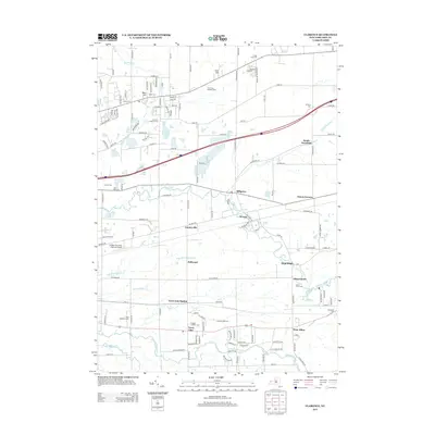
2013 Map of Clarence
USGS Topo · Published 2013About this map
Ellicott Cr and Cayuga Cr define the drainage of this portion of Erie County, flowing westward through a landscape of evolving hamlets and agricultural lands. The 2013 landscape is punctuated by numerous historic burial grounds, including Saint Adalbert's Cem and the Clarence Fillmore Cem, reflecting the area's deep-rooted settlement patterns. Small clusters of development at Millgrove, Looneyville, and Town Line Station mark traditional community centers alongside modern infrastructure like the Buffalo-Lancaster Regional Airport.
Find a feature on this map
133 named features on this map. Tap any name to fly to it.
Don’t see what you’re looking for? This feature index may not catch every label — zoom into the map to look around manually.
Map Details
Editions of this 2013 Clarence Map
This is the sole edition of this map. No revisions or reprints were ever made.
Other maps of this area

1897 · Medina
USGS Topo · 1:62,500

1897 · Lockport
USGS Topo · 1:62,500

1899 · Niagara
USGS Topo · 1:125,000

1902 · Lockport
USGS Topo · 1:62,500

1905 · Attica
USGS Topo · 1:62,500

1905 · Depew
USGS Topo · 1:62,500

1905 · Lockport
USGS Topo · 1:62,500

1948 · Depew
USGS Topo · 1:62,500

1948 · Lockport
USGS Topo · 1:62,500

1949 · Attica
USGS Topo · 1:62,500