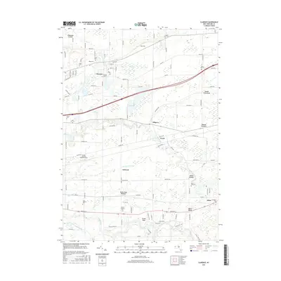
2016 Map of Clarence
USGS Topo · Published 2016About this map
Clarence Center and the village of Alden anchor this 2016 study of eastern Erie County, where suburban expansion meets an established agricultural and hydraulic landscape. The area is defined by the eastward flow of several major waterways, including Ellicott Creek, Cayuga Creek, and Plum Bottom Cr. These streams provided the historic framework for settlements like Millgrove and Wende, which remain separated by large tracts of open land and the Buffalo-Lancaster Regional Airport.
Find a feature on this map
111 named features on this map. Tap any name to fly to it.
Don’t see what you’re looking for? This feature index may not catch every label — zoom into the map to look around manually.
Map Details
Editions of this 2016 Clarence Map
This is the sole edition of this map. No revisions or reprints were ever made.
Other maps of this area

1897 · Medina
USGS Topo · 1:62,500

1897 · Lockport
USGS Topo · 1:62,500

1899 · Niagara
USGS Topo · 1:125,000

1902 · Lockport
USGS Topo · 1:62,500

1905 · Attica
USGS Topo · 1:62,500

1905 · Depew
USGS Topo · 1:62,500

1905 · Lockport
USGS Topo · 1:62,500

1948 · Depew
USGS Topo · 1:62,500

1948 · Lockport
USGS Topo · 1:62,500

1949 · Attica
USGS Topo · 1:62,500