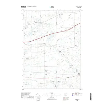
2019 Map of Clarence
USGS Topo · Published 2019About this map
Clarence and Alden anchor this portion of Erie County, where the transition from high ground to fertile creek valleys is clearly defined. The terrain is marked by East Hill and West Hill, while several watercourses like Ellicott Creek and Cayuga Creek carve through the landscape. For local historians, the sheet is exceptionally dense with burial grounds, ranging from the historic Schopf Pioneer Cem to the Hull Family Cem and the sprawling Alden Evergreen Cem.
Find a feature on this map
113 named features on this map. Tap any name to fly to it.
Don’t see what you’re looking for? This feature index may not catch every label — zoom into the map to look around manually.
Map Details
Editions of this 2019 Clarence Map
This is the sole edition of this map. No revisions or reprints were ever made.
Other maps of this area

1897 · Medina
USGS Topo · 1:62,500

1897 · Lockport
USGS Topo · 1:62,500

1899 · Niagara
USGS Topo · 1:125,000

1902 · Lockport
USGS Topo · 1:62,500

1905 · Attica
USGS Topo · 1:62,500

1905 · Depew
USGS Topo · 1:62,500

1905 · Lockport
USGS Topo · 1:62,500

1948 · Depew
USGS Topo · 1:62,500

1948 · Lockport
USGS Topo · 1:62,500

1949 · Attica
USGS Topo · 1:62,500