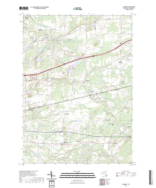
2023 Map of Clarence
USGS Topo · Published 2023About this map
Clarence and its surrounding hamlets in Erie County are defined by a network of creeks and a remarkably high concentration of pioneer and family burial grounds. The landscape rises into West Hill and East Hill, while low-lying areas include the expanse of Cedar Swamp and the waters of Lake Jerome. This contemporary survey details the intersection of historic settlement patterns with modern infrastructure, from the Buffalo-Lancaster Regional Airport to the established neighborhoods of Clarence Center and Alden. Genealogical value is found in the many small, named plots such as the Schopf Pioneer Cem, Hull Family Cem, and Clarence Fillmore Cem. These sites, along with Saint Adalbert Cem near Town Line Station, reveal the deep roots of the local community. The drainage of Ellicott Creek and Cayuga Creek remains a constant feature across these townships.
Find a feature on this map
120 named features on this map. Tap any name to fly to it.
Don’t see what you’re looking for? This feature index may not catch every label — zoom into the map to look around manually.
Map Details
Editions of this 2023 Clarence Map
This is the sole edition of this map. No revisions or reprints were ever made.
Other maps of this area

1897 · Medina
USGS Topo · 1:62,500

1897 · Lockport
USGS Topo · 1:62,500

1899 · Niagara
USGS Topo · 1:125,000

1902 · Lockport
USGS Topo · 1:62,500

1905 · Attica
USGS Topo · 1:62,500

1905 · Depew
USGS Topo · 1:62,500

1905 · Lockport
USGS Topo · 1:62,500

1948 · Depew
USGS Topo · 1:62,500

1948 · Lockport
USGS Topo · 1:62,500

1949 · Attica
USGS Topo · 1:62,500