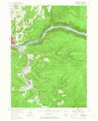
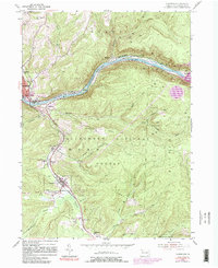
1954 Map of Clarendon
USGS Topo · Published 1966About this map
Clarendon and its neighbors sit at the heart of this mid-century survey, where the valley of Tionesta Creek serves as a primary corridor for both the Pennsylvania railroad and regional roadways. The map reveals a landscape defined by natural resource extraction, featuring extensive Gas Wells and the Glade Field Oil Field to the north. These industrial footprints contrast with the surrounding Allegheny National Forest, which covers much of the high ground including Stone Hill.
Find a feature on this map
46 named features on this map. Tap any name to fly to it.
Don’t see what you’re looking for? This feature index may not catch every label — zoom into the map to look around manually.
Map Details
Editions of this 1954 Clarendon Map
5 editions found
Other maps of this area

1906 · Warren
USGS Topo · 1:62,500

1907 · Warren
USGS Topo · 1:62,500

1908 · Warren
USGS Topo · 1:62,500

1934 · Kane
USGS Topo · 1:48,000

1935 · Sheffield
USGS Topo · 1:48,000

1936 · Kinzua
USGS Topo · 1:48,000

1939 · Kane
USGS Topo · 1:62,500

1941 · Sheffield
USGS Topo · 1:62,500

1941 · Kinzua
USGS Topo · 1:62,500

1947 · Cherry Grove
USGS Topo · 1:24,000