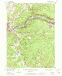
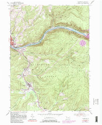
1954 Map of Clarendon
USGS Topo · Published 1973About this map
The Allegheny River and Tionesta Creek valleys dominate this 1954 landscape, reflecting a region deeply tied to the extraction and transportation of natural resources. The Penn Central railroad follows the winding river corridor, connecting the borough of Clarendon and the industrial outskirts of Warren. Settlement is concentrated along these low-lying water routes, while the heavily wooded slopes of the Allegheny National Forest rise to the east.
Find a feature on this map
70 named features on this map. Tap any name to fly to it.
Don’t see what you’re looking for? This feature index may not catch every label — zoom into the map to look around manually.
Map Details
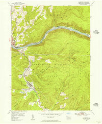
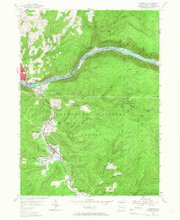
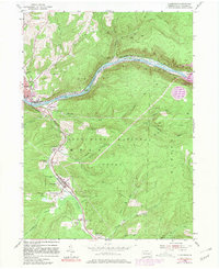
Editions of this 1954 Clarendon Map
5 editions found
Other maps of this area

1906 · Warren
USGS Topo · 1:62,500

1907 · Warren
USGS Topo · 1:62,500

1908 · Warren
USGS Topo · 1:62,500

1934 · Kane
USGS Topo · 1:48,000

1935 · Sheffield
USGS Topo · 1:48,000

1936 · Kinzua
USGS Topo · 1:48,000

1939 · Kane
USGS Topo · 1:62,500

1941 · Sheffield
USGS Topo · 1:62,500

1941 · Kinzua
USGS Topo · 1:62,500

1947 · Cherry Grove
USGS Topo · 1:24,000