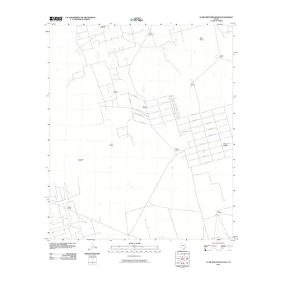
2010 Map of Clark Brothers Ranch
USGS Topo · Published 2010About this map
Pleasant Farms anchor this landscape of the Texas Permian Basin, where residential grid patterns meet the industrial infrastructure of the energy sector. The community is defined by streets named for fruit and precious metals, such as W Apple St and W Gold St, which abruptly transition into the open range and working tracts of the Clark Brothers Ranch and Rodman Ranch. The map illustrates a distinctive West Texas land-use pattern where localized water sources, marked by numerous named landmarks like the Prairie Dog Windmill and Henderson Windmill, coexist with the extensive underground resources of the South Cowden Oil Field and the Double H Oil Field. This intersection of ranching heritage and the modern petroleum industry is further evidenced by the Edwards Oil Field situated near established homesteads, reflecting the region's mid-century development and continued reliance on both surface and mineral rights.
Find a feature on this map
28 named features on this map. Tap any name to fly to it.
Don’t see what you’re looking for? This feature index may not catch every label — zoom into the map to look around manually.
Map Details
Editions of this 2010 Clark Brothers Ranch Map
This is the sole edition of this map. No revisions or reprints were ever made.
Other maps of this area

1954 · Pecos
USGS Topo · 1:250,000

1957 · Pecos
USGS Topo · 1:250,000

1964 · Odessa SW
USGS Topo · 1:24,000

1964 · Odessa SE
USGS Topo · 1:24,000

1964 · Douro
USGS Topo · 1:24,000

1964 · Doodle Bug Well
USGS Topo · 1:24,000

1964 · Penwell
USGS Topo · 1:24,000

1964 · Penwell SE
USGS Topo · 1:24,000

1964 · Clark Brothers Ranch
USGS Topo · 1:24,000

1964 · Perkins Lake
USGS Topo · 1:24,000