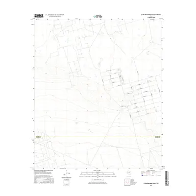
2016 Map of Clark Brothers Ranch
USGS Topo · Published 2016About this map
Clark Brothers Ranch serves as a central landmark in this West Texas landscape, where the high plains meet a grid of planned rural roads south of Odessa. The map documents an interesting pattern of residential development where street names shift from precious minerals like S Ruby Ave and S Bonanza Ave to an orchard-inspired grid including W Hackberry St, W Nectarine St, and W Avocado St. The arid environment is shaped by essential water features like Simms Tank, Big Tank, and the winding path of Landreth Draw. Spanning the boundary of Ector Co and Crane Co, the survey illustrates the intersection of large-scale ranching and the encroaching suburban-style street networks that define the modern character of this Permian Basin region.
Find a feature on this map
28 named features on this map. Tap any name to fly to it.
Don’t see what you’re looking for? This feature index may not catch every label — zoom into the map to look around manually.
Map Details
Editions of this 2016 Clark Brothers Ranch Map
This is the sole edition of this map. No revisions or reprints were ever made.
Other maps of this area

1954 · Pecos
USGS Topo · 1:250,000

1957 · Pecos
USGS Topo · 1:250,000

1964 · Odessa SW
USGS Topo · 1:24,000

1964 · Odessa SE
USGS Topo · 1:24,000

1964 · Douro
USGS Topo · 1:24,000

1964 · Doodle Bug Well
USGS Topo · 1:24,000

1964 · Penwell
USGS Topo · 1:24,000

1964 · Penwell SE
USGS Topo · 1:24,000

1964 · Clark Brothers Ranch
USGS Topo · 1:24,000

1964 · Perkins Lake
USGS Topo · 1:24,000