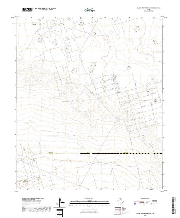
2022 Map of Clark Brothers Ranch
USGS Topo · Published 2022About this map
The boundary between Ector Co and Crane Co bisects this West Texas landscape, where the traditional ranching heritage meets modern residential planning. The most striking element of the map is a dense, thematic grid of streets named after precious stones, metals, and fruits, including S Ruby Ave, S Bonanza Ave, and W Gold St. This grid pattern, largely undeveloped in the northern section, suggests significant suburban expansion or planned communities on the outskirts of regional centers. The natural drainage and water features are sparse in this arid environment, dominated by Landreth Draw and the isolated catchment of Simms Tank. These labels reveal the critical importance of water management for sustaining both the agricultural roots of the Clark Brothers Ranch area and the encroaching residential developments.
Find a feature on this map
26 named features on this map. Tap any name to fly to it.
Don’t see what you’re looking for? This feature index may not catch every label — zoom into the map to look around manually.
Map Details
Editions of this 2022 Clark Brothers Ranch Map
This is the sole edition of this map. No revisions or reprints were ever made.
Other maps of this area

1954 · Pecos
USGS Topo · 1:250,000

1957 · Pecos
USGS Topo · 1:250,000

1964 · Odessa SW
USGS Topo · 1:24,000

1964 · Odessa SE
USGS Topo · 1:24,000

1964 · Douro
USGS Topo · 1:24,000

1964 · Doodle Bug Well
USGS Topo · 1:24,000

1964 · Penwell
USGS Topo · 1:24,000

1964 · Penwell SE
USGS Topo · 1:24,000

1964 · Clark Brothers Ranch
USGS Topo · 1:24,000

1964 · Perkins Lake
USGS Topo · 1:24,000