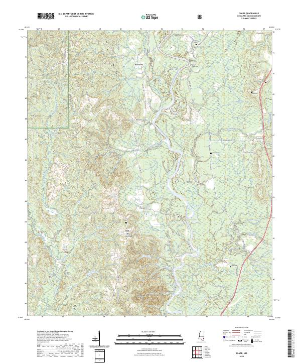
2024 Map of Clark
USGS Topo · Published 2024About this map
The Chickasawhay River winds through the heart of this Greene County landscape, defining the topography between Old Avera and the small settlement at Clark. Much of the western terrain is held within the De Soto National Forest, where small tributaries like Waterfork Branch and Painters Branch cut through the timberland. The map reveals a dense network of local cemeteries and family-named roads, indicating a deeply rooted rural community structure.
Find a feature on this map
76 named features on this map. Tap any name to fly to it.
Don’t see what you’re looking for? This feature index may not catch every label — zoom into the map to look around manually.
Map Details
Editions of this 2024 Clark Map
This is the sole edition of this map. No revisions or reprints were ever made.
Other maps of this area

1942 · Deer Park
USGS Topo · 1:62,500

1943 · Deer Park
USGS Topo · 1:62,500

1953 · Hattiesburg
USGS Topo · 1:250,000

1958 · Hattiesburg
USGS Topo · 1:250,000

1964 · Knobtown
USGS Topo · 1:24,000

1964 · Clark
USGS Topo · 1:24,000

1964 · Avera
USGS Topo · 1:24,000

1964 · Piave
USGS Topo · 1:24,000

1972 · Leakesville
USGS Topo · 1:24,000

1973 · Jonathan
USGS Topo · 1:24,000