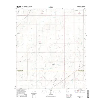
2015 Map of Clark Hollow
USGS Topo · Published 2015About this map
Clark Hollow and the surrounding marshlands define this landscape along the border of Beauregard and Calcasieu Parishes. The area is characterized by an intricate drainage system including Bear Head Cr and Green Island Marsh Cr, which wind through a terrain marked by numerous local gullies such as Mustang Gully and Sally Gully. The transport network consists largely of rural roads like Jack Coleman Rd and Roy L Ashworth Rd, reflecting the low-density settlement pattern of these Louisiana parishes.
Find a feature on this map
62 named features on this map. Tap any name to fly to it.
Don’t see what you’re looking for? This feature index may not catch every label — zoom into the map to look around manually.
Map Details
Editions of this 2015 Clark Hollow Map
This is the sole edition of this map. No revisions or reprints were ever made.
Other maps of this area

1947 · Starks
USGS Topo · 1:31,680

1947 · Carter Creek
USGS Topo · 1:31,680

1947 · DeQuincy
USGS Topo · 1:31,680

1947 · Sulphur Mines
USGS Topo · 1:31,680

1947 · Oretta
USGS Topo · 1:31,680

1947 · Hyatt
USGS Topo · 1:31,680

1947 · Lunita
USGS Topo · 1:31,680

1947 · Long Marsh
USGS Topo · 1:31,680

1949 · Bancroft
USGS Topo · 1:31,680

1952 · Lake Charles
USGS Topo · 1:250,000