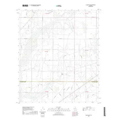
2018 Map of Clark Hollow
USGS Topo · Published 2018About this map
Clark Hollow defines the center of this rural landscape straddling the line between Beauregard and Calcasieu Parishes. The terrain is characterized by a dense network of watercourses, including White Oak Gully, Sweet Gum Gully, and Bear Head Cr, which drainage toward the extensive Green Island Marsh in the south. This environment, dominated by gullies and marshland, influenced the placement of local roads and family-named landmarks that have persisted through generations.
Find a feature on this map
56 named features on this map. Tap any name to fly to it.
Don’t see what you’re looking for? This feature index may not catch every label — zoom into the map to look around manually.
Map Details
Editions of this 2018 Clark Hollow Map
This is the sole edition of this map. No revisions or reprints were ever made.
Other maps of this area

1947 · Starks
USGS Topo · 1:31,680

1947 · Carter Creek
USGS Topo · 1:31,680

1947 · DeQuincy
USGS Topo · 1:31,680

1947 · Sulphur Mines
USGS Topo · 1:31,680

1947 · Oretta
USGS Topo · 1:31,680

1947 · Hyatt
USGS Topo · 1:31,680

1947 · Lunita
USGS Topo · 1:31,680

1947 · Long Marsh
USGS Topo · 1:31,680

1949 · Bancroft
USGS Topo · 1:31,680

1952 · Lake Charles
USGS Topo · 1:250,000